

en.m.wikipedia.org
Bicentennial Capitol Mall State Park — Wikipedia Featured Article
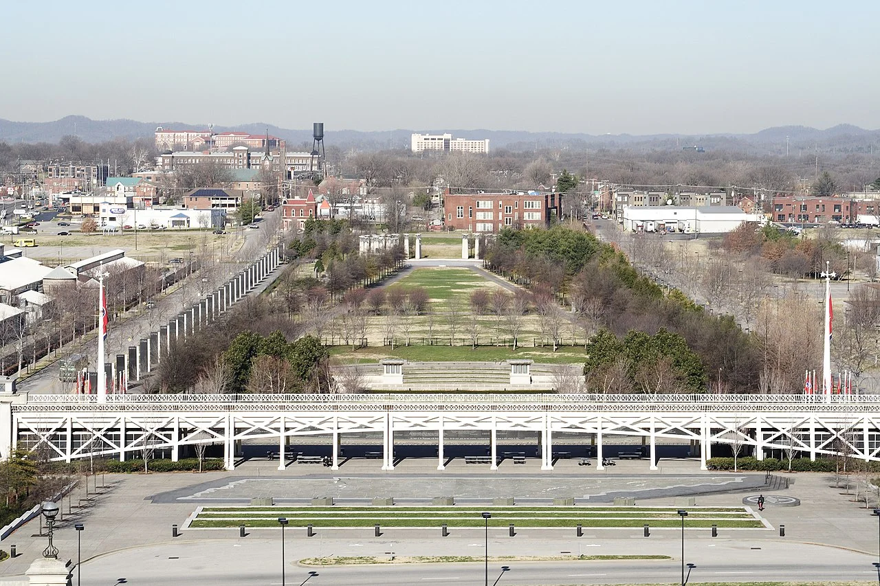
Wikipedia's community-reviewed article on Nashville's Bicentennial Capitol Mall: its history from French Lick Creek to the 1996 dedication, every monument and walkway, and its 2.5 million annual visitors.


このコンテンツについて、さらに観点や背景を補足しましょう。